
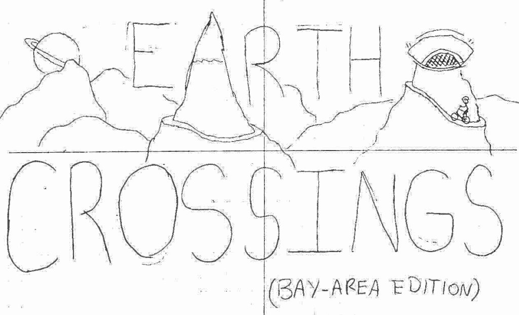
Earth Crossing Route Philosophy:
The parameters for the rides in this guide are specific and intentional. My purpose is to make you feel small against the land you exist with, and create experiences where it feels like an immense amount of Earth has been crossed by you, and you alone. To achieve this, all the rides I present obey the following parameters:
- Start & end at public transit. The only things you need are you, your bike, and enough food/water to last you a day.
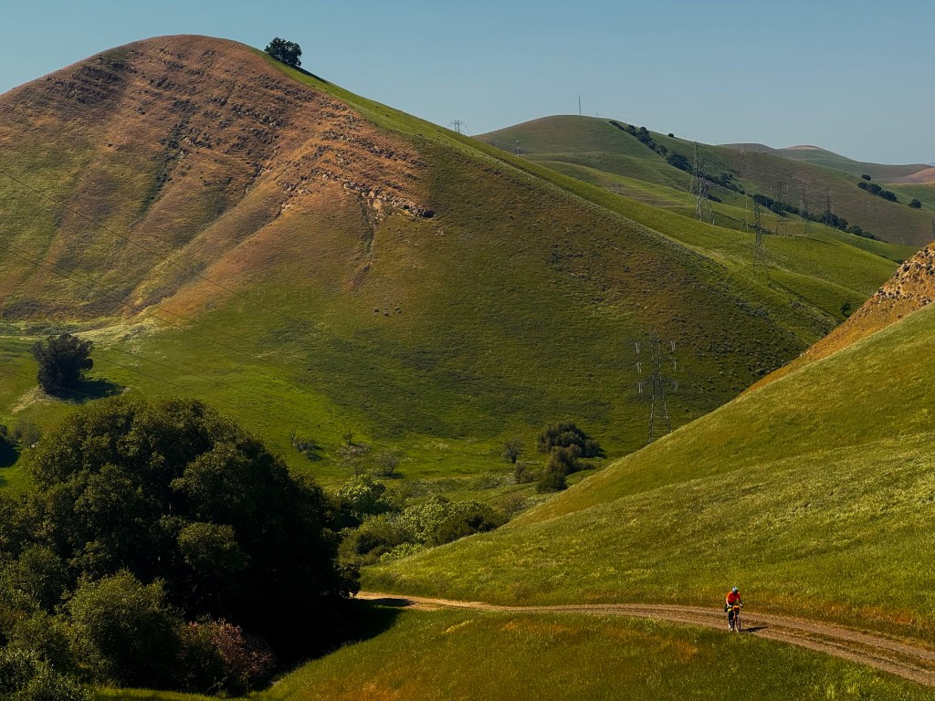
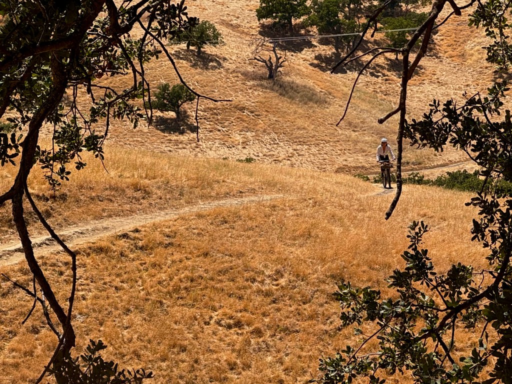
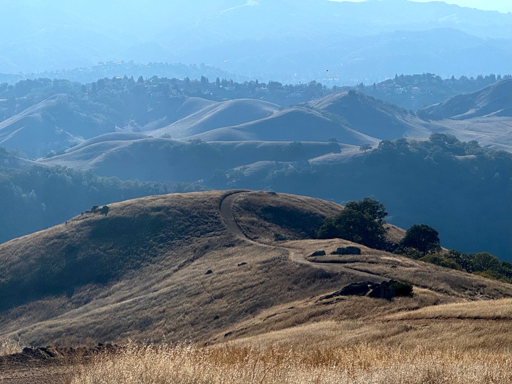
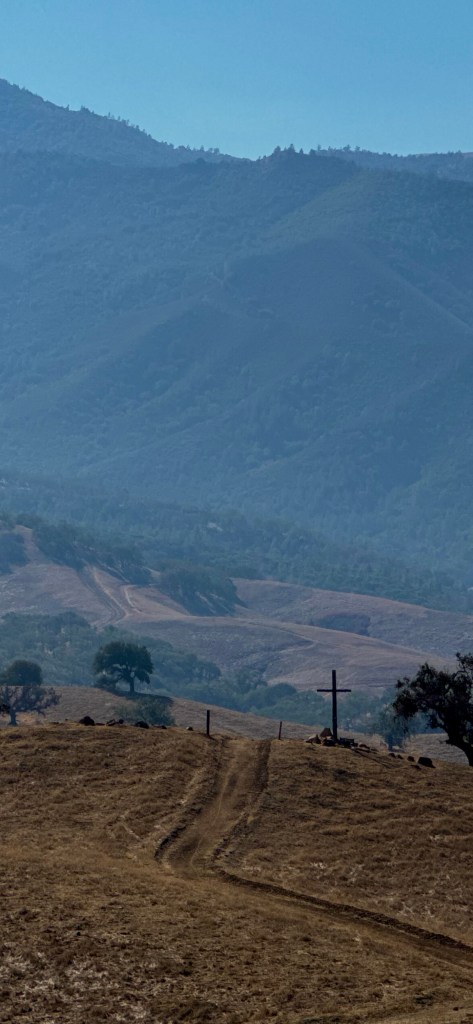
- Mixed terrain. Roads are great, but you really only start to feel isolated from when you get out on a trail, where the only things you can hear is the gravel crunching below and the wind blowing above.
- 10,000′ of climbing, or more. Traversing the microclimates of the peaks throughout the Bay, every one of these rides is intended to feel like a feat, a demonstration of strength and perseverance. A crossing, some would say.
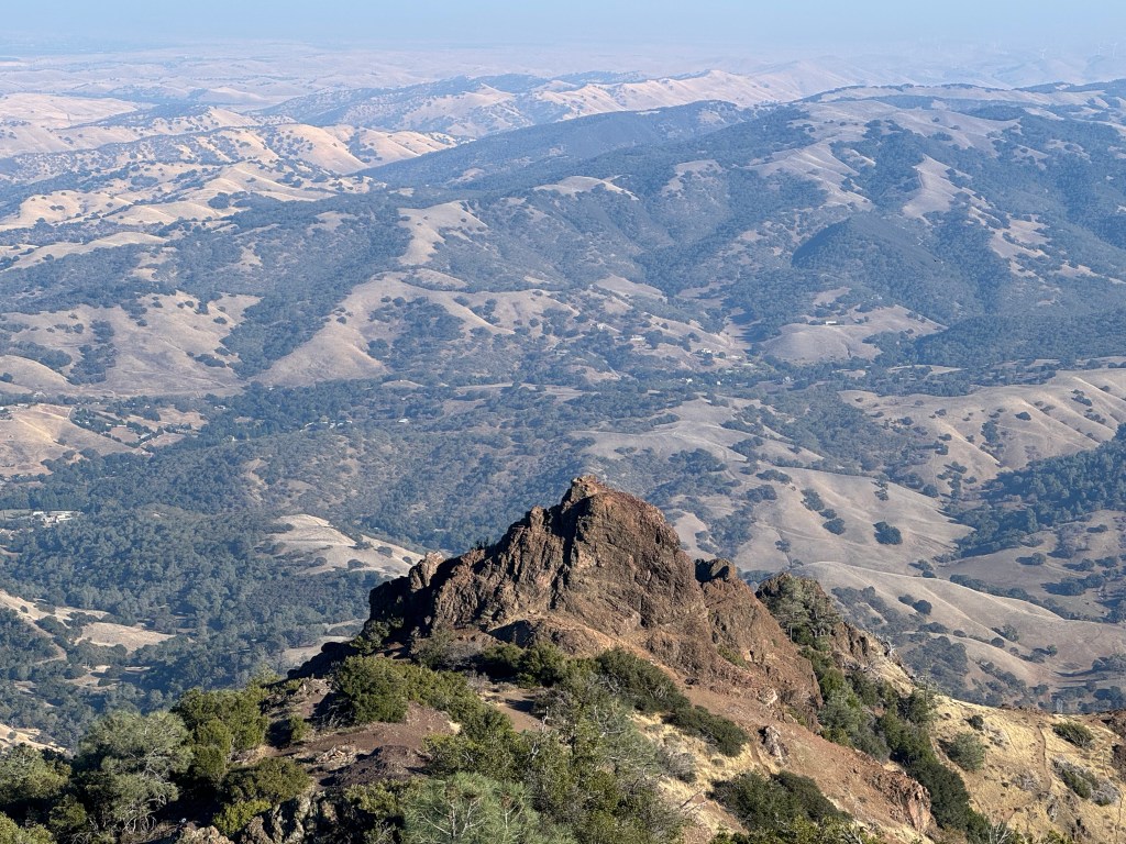
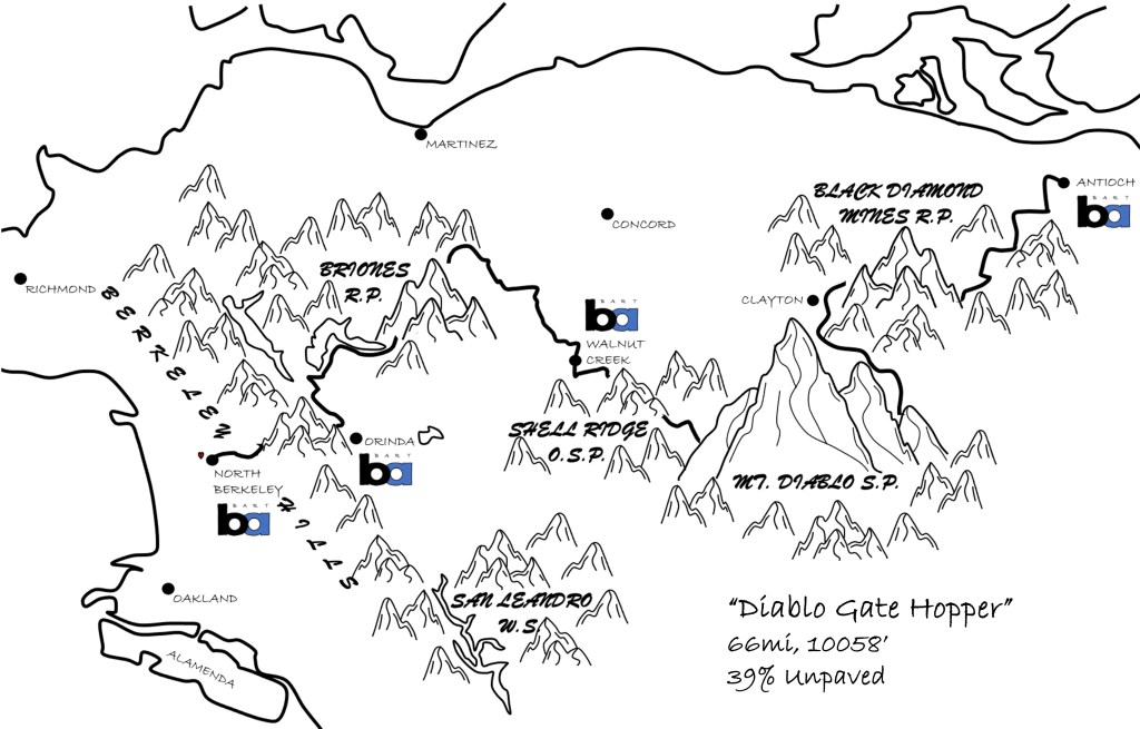
This isn’t your mommy’s Earth Crossing. A pointy tasting of the East Bay, Diablo Gate Hopper crunches its 10,000′ in only 66mi, making it one of the hardest routes in this guide. This route isn’t fully legal, the trail up Diablo is so steep you’ll likely have to walk and its possible that you’ll get gassed by Central Valley fumes stepping off BART in Antioch in the morning. I hope you have fun.
Start/End Points: Antioch BART, North Berkeley BART
Refuel (or Bail-Out) Points: Diablo Summit, Walnut Creek BART, Orinda BART
Wildlands Traversed: Black Diamond Mines Regional Preserve, Mount Diablo State Park, Shell Ridge Open Space Preserve, Briones Regional Park, Berkeley Hills (Tilden Regional Park)

Recommended Direction: Unclear. Antioch to North Berkeley has a lower peak grade but North Berkeley to Antioch would make for a much smoother climb up Diablo. Do whichever is easier for you logistically.
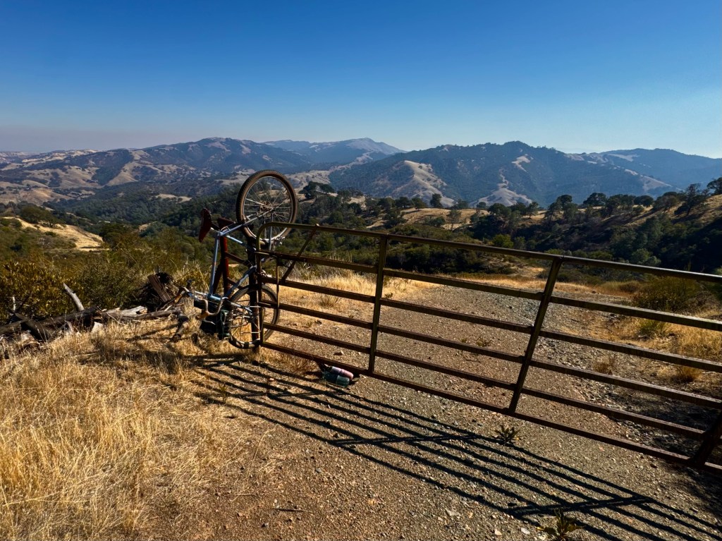
Key Tip: As mentioned, you must cross into private property to complete the route as intended. It’s unfortunate, but people are able to own roads that lead into State Park land and block access to the State Park. This is the case with many roads in the Diablo Range, but especially so on the East/South side of Diablo. It isn’t too bad though – when you reach Oakhill Lane/Prospector’s Gap Road, you hop two gates owned by Diablo Bowmen (archery range?) and continue on into State Park land. Otherwise, this route is fairly straightforward with plenty of opportunities for water, food and snacks. When you get to the Diablo Summit, make sure you get an ice cream sandwich.
Illegal variant: RWGPS Link
Legal variant: RWGPS link

Coming Soon to an Eyeball Near You…
- 10 routes, all around the Bay!
- Start & end at public transit! Fuck those fucking cars!
- Sick maps, good photos, inspiration for you while you rot on your couch!

Leave a comment